
Geologic Tour of the Crypt Lake Trail - Waterton National Park, Alberta
The Tour:
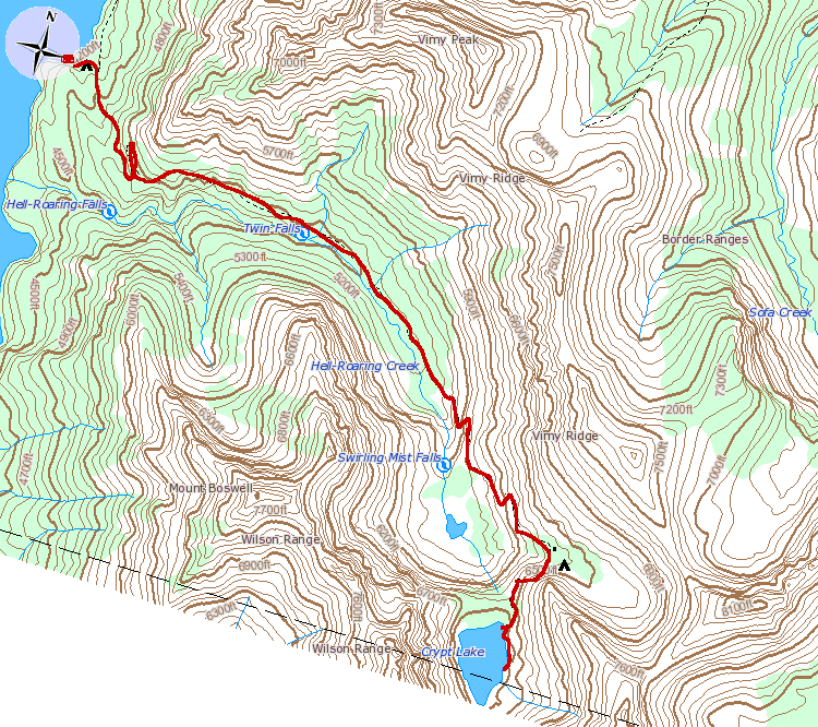
Welcome to the Crypt Lake Trail! Prepare to be put to the test; this 17.2 km (10.7 mi) hike climbs 700 m (2300 ft) to a glacial lake (tarn) perched within a mountainside on the U.S - Candian Border. This hike averages around 6-8 hours, plan accordingly to be back for the 4:00 and 5:30 PM shuttles.
This is a "hiking tour," of the geological and historical features present along the Crypt Lake Trail. This tour has multiple numbered stops along the trail, each with a landmark and found on the topographic map displayed here. You can find out more about each stop by clicking the landmark listed below, or by clicking the stop on the map.
Hikers need to take individual responsibility for planning their trips and hiking safely. Before setting out on your hike, stop by the visitor centre to receive current trail conditions, and any trail cautions or closures. You will increase your odds of a safe hike, decrease your disturbance to park wildlife, and lessen damage to resources.